 vesseltracker.com
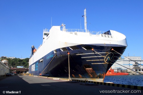
 Neptune Dynamis
Current Status
Where is the vessel?
Neptune Dynamis is currently in 24 nm S of Ferrybridge, based on AIS data received less than 1h ago.
Latest AIS update:
Current position: 50.18590° N, 2.63947° W (24 nm S of Ferrybridge)
Average speed (last 7 days): Loading…
Average speed (last 30 days): Loading…
Vessel profile: Neptune Dynamis is a Vehicles Carrier with dimensions 158m x 158m.
This page combines live AIS, route history, probable destination signals, nearby traffic, and port activity for practical vessel monitoring.
The current position of vessel Neptune Dynamis is 50.1859 lat / -2.63947 lng. Updated: 2026-05-13 22:17:11 UTCNearest reference points:
- 23 nm NW of Saint Sampson
- Near Castletown
- Near WEYMOUTH
Currently sailing under the flag of Malta ![]()
Neptune Dynamis built in 2002 year
Deadweight:
6850 tDetails:
Live Vessel Neptune Dynamis Analytics (details, animations, etc.)
Recent AIS points (UTC):
2026-05-13 19:05:19 UTC · 50.11290, -1.78212 · SOG 10.4 kn · COG 299°2026-05-13 19:40:20 UTC · 50.16830, -1.89840 · SOG 9.4 kn · COG 297°
2026-05-13 22:08:50 UTC · 50.18580, -2.59540 · SOG 12.2 kn · COG 274°
2026-05-13 22:17:11 UTC · 50.18590, -2.63947 · SOG 12.2 kn · COG 274°