 vesseltracker.com
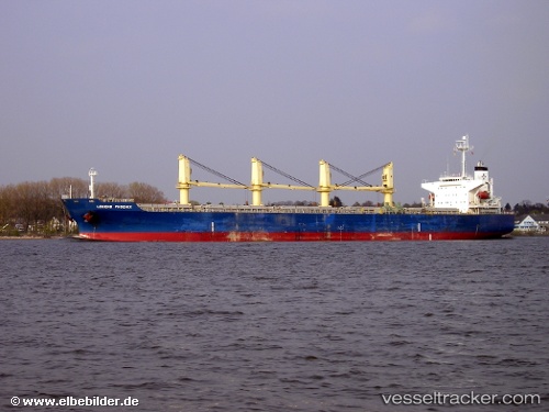
Larus
Current StatusWhere is the vessel?
Larus is currently in 14 nm SW of Porto Grande, based on AIS data received less than 1h ago.
Latest AIS update:
Current position: 16.67685° N, 25.15296° W (14 nm SW of Porto Grande)
Average speed (last 7 days): Loading…
Average speed (last 30 days): Loading…
Vessel profile: Larus is a Bulk Carrier with dimensions 32m x 189m.
This page combines live AIS, route history, probable destination signals, nearby traffic, and port activity for practical vessel monitoring.
The current position of vessel Larus is 16.67685 lat / -25.15296 lng. Updated: 2026-05-16 13:54:25 UTCNearest reference points:
- 39 nm W of Ilha do Sal
- 100 nm N of Porto Grande
- 102 nm N of Porto Grande
Details:
Live Vessel Larus Analytics (details, animations, etc.)
Recent AIS points (UTC):
2026-05-16 11:06:34 UTC · 16.67988, -25.09828 · SOG 1.1 kn · COG 334°2026-05-16 11:23:04 UTC · 16.67685, -25.10297 · SOG 0.9 kn · COG 330°
2026-05-16 13:36:18 UTC · 16.67472, -25.14712 · SOG 1.8 kn · COG 352°
2026-05-16 13:54:25 UTC · 16.67685, -25.15296 · SOG 1 kn · COG 353°