 vesseltracker.com
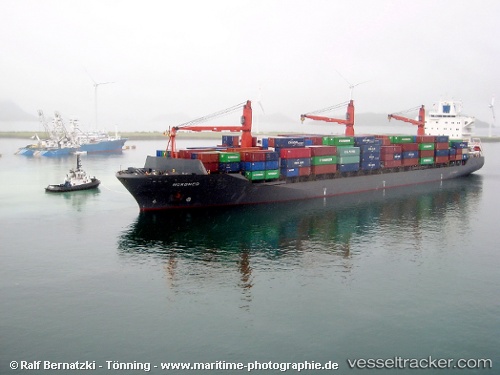
 NYRA2
NYRA2
Current Status
Where is the vessel?
NYRA2 is currently in 34 nm SE of Fuengirola, based on AIS data received about 26d ago.
Latest AIS update:
Current position: 36.01966° N, 4.29775° W (34 nm SE of Fuengirola)
Average speed (last 7 days): Loading…
Average speed (last 30 days): Loading…
Vessel profile: NYRA2 is a Container Ship with dimensions m x m.
This page combines live AIS, route history, probable destination signals, nearby traffic, and port activity for practical vessel monitoring.
The current position of vessel NYRA2 is 36.01966 lat / -4.29775 lng. Updated: 2026-04-19 10:56:06 UTCNearest reference points:
- 31 nm SE of Fuengirola
- 30 nm E of Ceuta
- 24 nm S of El Morche
Currently sailing under the flag of Comoros ![]()
Details:
Live Vessel NYRA2 Analytics (details, animations, etc.)
Recent AIS points (UTC):
2026-04-19 10:56:06 UTC · 36.01966, -4.29775 · SOG 1.2 kn · COG -1°