 vesseltracker.com
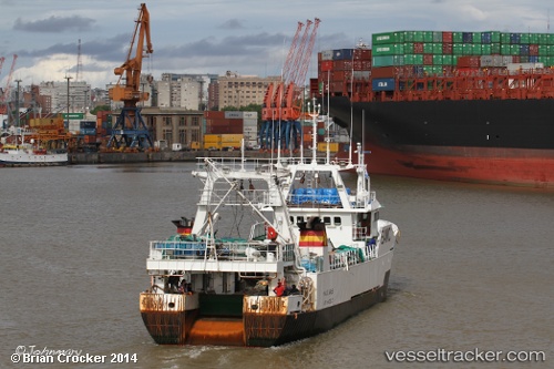
 Manuel Nores
Current Status
Where is the vessel?
Manuel Nores is currently in 230 nm NE of Puerto Deseado, based on AIS data received about 128d ago.
Latest AIS update:
Current position: 46.15894° S, 60.82814° W (230 nm NE of Puerto Deseado)
Average speed (last 7 days): Loading…
Average speed (last 30 days): Loading…
Vessel profile: Manuel Nores is a Fishing Vessel with dimensions 50m x 10m.
This page combines live AIS, route history, probable destination signals, nearby traffic, and port activity for practical vessel monitoring.
The current position of vessel Manuel Nores is -46.15894 lat / -60.82814 lng. Updated: 2026-01-05 06:34:48 UTCCurrently sailing under the flag of Spain ![]()
Details:
Live Vessel Manuel Nores Analytics (details, animations, etc.)
Recent AIS points (UTC):
2026-01-05 06:34:48 UTC · -46.15894, -60.82814 · SOG 4.6 kn · COG 249°