 vesseltracker.com
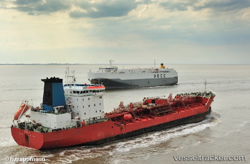
 Miro D
Current Status
Where is the vessel?
Miro D is currently in 173 nm S of Frederiksted, based on AIS data received less than 1h ago.
Latest AIS update:
Current position: 15.05286° N, 66.02574° W (173 nm S of Frederiksted)
Average speed (last 7 days): Loading…
Average speed (last 30 days): Loading…
Vessel profile: Miro D is a Chemical Oil Products Tanker with dimensions 138m x 23m.
This page combines live AIS, route history, probable destination signals, nearby traffic, and port activity for practical vessel monitoring.
The current position of vessel Miro D is 15.05286 lat / -66.02574 lng. Updated: 2026-05-15 05:16:03 UTCNearest reference points:
- 82 nm S of Santa Isabel
- 148 nm N of Dorp Rincón
- 10 nm SE of Limetree Bay
Currently sailing under the flag of Malta ![]()
Miro D built in 2002 year
Deadweight:
16882 tDetails:
Live Vessel Miro D Analytics (details, animations, etc.)
Recent AIS points (UTC):
2026-05-15 01:10:51 UTC · 14.77614, -66.72713 · SOG 10.7 kn · COG 76°2026-05-15 04:10:42 UTC · 14.97791, -66.21547 · SOG 10.9 kn · COG 71°
2026-05-15 04:20:34 UTC · 14.98907, -66.18704 · SOG 11.1 kn · COG 69°
2026-05-15 05:16:03 UTC · 15.05286, -66.02574 · SOG 10.9 kn · COG 68°