 vesseltracker.com
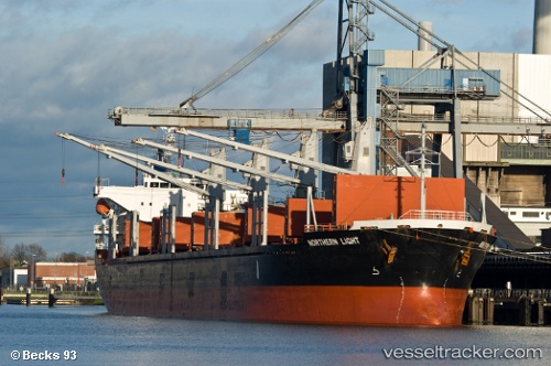
 NORAYA
Current Status
Where is the vessel?
NORAYA is currently in Near KEA, based on AIS data received less than 1h ago.
Latest AIS update:
Current position: 37.77696° N, 24.31921° E (Near KEA)
Average speed (last 7 days): Loading…
Average speed (last 30 days): Loading…
Vessel profile: NORAYA is a Bulk Carrier with dimensions m x m.
This page combines live AIS, route history, probable destination signals, nearby traffic, and port activity for practical vessel monitoring.
The current position of vessel NORAYA is 37.77696 lat / 24.31921 lng. Updated: 2026-05-15 19:20:06 UTCNearest reference points:
- Near LAVRIO
- Near Kéa (Tzia)
- Near LAVRIO MARINA
Currently sailing under the flag of Belize ![]()
Details:
Live Vessel NORAYA Analytics (details, animations, etc.)
Recent AIS points (UTC):
2026-05-15 16:10:55 UTC · 38.23273, 24.76327 · SOG 10.7 kn · COG 208°2026-05-15 17:06:05 UTC · 38.08177, 24.66983 · SOG 11.2 kn · COG 209°
2026-05-15 18:16:44 UTC · 37.89016, 24.52458 · SOG 11.7 kn · COG 235°
2026-05-15 19:20:06 UTC · 37.77696, 24.31921 · SOG 10.9 kn · COG 229°