 vesseltracker.com
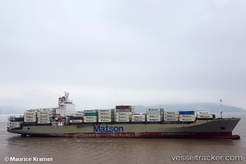
Manukai
Current StatusWhere is the vessel?
Manukai is currently in 16 nm E of Gonglu, based on AIS data received about 1h ago.
Latest AIS update:
Current position: 31.24982° N, 121.98344° E (16 nm E of Gonglu)
Average speed (last 7 days): Loading…
Average speed (last 30 days): Loading…
Vessel profile: Manukai is a Container Ship with dimensions 32m x 217m.
This page combines live AIS, route history, probable destination signals, nearby traffic, and port activity for practical vessel monitoring.
The current position of vessel Manukai is 31.24982 lat / 121.98344 lng. Updated: 2026-05-14 12:00:36 UTCNearest reference points:
- 18 nm NE of Nanhui
- Near Gonglu
- 15 nm NE of Gonglu
Details:
Live Vessel Manukai Analytics (details, animations, etc.)
Recent AIS points (UTC):
2026-05-14 07:48:33 UTC · 31.11784, 122.74486 · SOG 13.2 kn · COG 268°2026-05-14 10:26:56 UTC · 31.13024, 122.26035 · SOG 9.5 kn · COG 304°
2026-05-14 11:02:56 UTC · 31.18700, 122.16564 · SOG 9.9 kn · COG 306°
2026-05-14 12:00:36 UTC · 31.24982, 121.98344 · SOG 10.5 kn · COG 281°