 vesseltracker.com
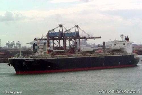
Alizay 2
Current StatusWhere is the vessel?
Alizay 2 is currently in Near Rizhao, based on AIS data received less than 1h ago.
Latest AIS update:
Current position: 35.36992° N, 119.53782° E (Near Rizhao)
Average speed (last 7 days): Loading…
Average speed (last 30 days): Loading…
Vessel profile: Alizay 2 is a Wood Chips Carrier with dimensions 32m x 200m.
This page combines live AIS, route history, probable destination signals, nearby traffic, and port activity for practical vessel monitoring.
The current position of vessel Alizay 2 is 35.36992 lat / 119.53782 lng. Updated: 2026-05-14 07:52:00 UTCNearest reference points:
- Near Rizhao Pt
- Near Rizhao
- 11 nm SE of Rizhao
Details:
Live Vessel Alizay 2 Analytics (details, animations, etc.)
Recent AIS points (UTC):
2026-05-14 04:52:00 UTC · 35.36991, 119.53782 · SOG 0 kn · COG 106°2026-05-14 05:28:00 UTC · 35.36992, 119.53780 · SOG 0 kn · COG 106°
2026-05-14 07:43:00 UTC · 35.36996, 119.53782 · SOG 0 kn · COG 106°
2026-05-14 07:52:00 UTC · 35.36992, 119.53782 · SOG 0 kn · COG 106°