 vesseltracker.com
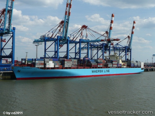
 MSC KALAMATA VII
Current Status
Where is the vessel?
MSC KALAMATA VII is currently in 34 nm E of Zanzibar, based on AIS data received less than 1h ago.
Latest AIS update:
Current position: 6.28508° S, 39.73756° E (34 nm E of Zanzibar)
Average speed (last 7 days): Loading…
Average speed (last 30 days): Loading…
Vessel profile: MSC KALAMATA VII is a Container Ship with dimensions m x m.
This page combines live AIS, route history, probable destination signals, nearby traffic, and port activity for practical vessel monitoring.
The current position of vessel MSC KALAMATA VII is -6.28508 lat / 39.73756 lng. Updated: 2026-05-14 12:16:20 UTCNearest reference points:
- Near Dar Es Salaam
- 11 nm SE of Mombasa
- Near Mombasa
Currently sailing under the flag of Liberia ![]()
Details:
Live Vessel MSC KALAMATA VII Analytics (details, animations, etc.)
Recent AIS points (UTC):
2026-05-14 07:25:30 UTC · -5.40580, 39.95283 · SOG 11 kn · COG 195°2026-05-14 09:35:09 UTC · -5.80203, 39.85014 · SOG 11 kn · COG 193°
2026-05-14 10:07:09 UTC · -5.89796, 39.82464 · SOG 11.1 kn · COG 189°
2026-05-14 12:16:20 UTC · -6.28508, 39.73756 · SOG 10.8 kn · COG 190°