 vesseltracker.com
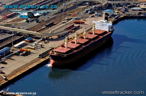
 SEA PEARL
Current Status
Where is the vessel?
SEA PEARL is currently in 82 nm E of NACALA PORTO, based on AIS data received less than 1h ago.
Latest AIS update:
Current position: 14.05099° S, 41.97751° E (82 nm E of NACALA PORTO)
Average speed (last 7 days): Loading…
Average speed (last 30 days): Loading…
Vessel profile: SEA PEARL is a Bulk Carrier with dimensions m x m.
This page combines live AIS, route history, probable destination signals, nearby traffic, and port activity for practical vessel monitoring.
The current position of vessel SEA PEARL is -14.05099 lat / 41.97751 lng. Updated: 2026-05-15 03:26:01 UTCNearest reference points:
- 10 nm N of NACALA PORTO
- Near NACALA PORTO
- 47 nm NW of Mohéli Apt
Currently sailing under the flag of Panama ![]()
Details:
Live Vessel SEA PEARL Analytics (details, animations, etc.)
Recent AIS points (UTC):
2026-05-14 21:29:15 UTC · -15.08833, 41.55333 · SOG 10 kn · COG -1°2026-05-14 22:38:18 UTC · -14.89333, 41.63500 · SOG 11 kn · COG -1°
2026-05-15 00:15:16 UTC · -14.61266, 41.75206 · SOG 11.3 kn · COG 21°
2026-05-15 03:26:01 UTC · -14.05099, 41.97751 · SOG 11.7 kn · COG 21°