 vesseltracker.com
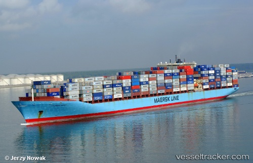
Columbine Maersk
Current StatusWhere is the vessel?
Columbine Maersk is currently in Near SHOTLEY, based on AIS data received about 1h ago.
Latest AIS update:
Current position: 51.96254° N, 1.29002° E (Near SHOTLEY)
Average speed (last 7 days): Loading…
Average speed (last 30 days): Loading…
Vessel profile: Columbine Maersk is a Container Ship with dimensions 42m x 347m.
This page combines live AIS, route history, probable destination signals, nearby traffic, and port activity for practical vessel monitoring.
The current position of vessel Columbine Maersk is 51.96254 lat / 1.29002 lng. Updated: 2026-05-14 17:26:03 UTCNearest reference points:
- Near Harwich
- Near SHOTLEY
- Near Felixstowe
Details:
Live Vessel Columbine Maersk Analytics (details, animations, etc.)
Recent AIS points (UTC):
2026-05-14 14:09:25 UTC · 51.96256, 1.29002 · SOG 0 kn · COG 306°2026-05-14 16:08:36 UTC · 51.96255, 1.29001 · SOG 0 kn · COG 306°
2026-05-14 16:18:04 UTC · 51.96255, 1.29002 · SOG 0 kn · COG 306°
2026-05-14 17:26:03 UTC · 51.96254, 1.29002 · SOG 0 kn · COG 306°