 vesseltracker.com
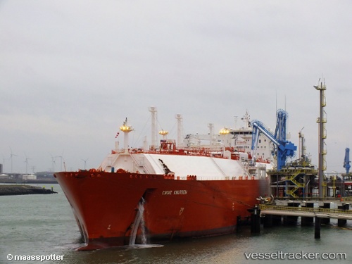
Cadiz Knutsen
Current StatusWhere is the vessel?
Cadiz Knutsen is currently in 61 nm S of Sagres, based on AIS data received about 129d ago.
Latest AIS update:
Current position: 36.03167° N, 9.29000° W (61 nm S of Sagres)
Average speed (last 7 days): Loading…
Average speed (last 30 days): Loading…
Vessel profile: Cadiz Knutsen is a Lng Tanker with dimensions 43m x 284m.
This page combines live AIS, route history, probable destination signals, nearby traffic, and port activity for practical vessel monitoring.
The current position of vessel Cadiz Knutsen is 36.03167 lat / -9.29000 lng. Updated: 2026-01-05 05:44:28 UTCNearest reference points:
- 31 nm SW of Sagres
- 18 nm S of Sagres
- 112 nm N of El Jadida
Details:
Live Vessel Cadiz Knutsen Analytics (details, animations, etc.)
Recent AIS points (UTC):
2026-01-05 05:44:28 UTC · 36.03167, -9.29000 · SOG 17 kn · COG -1°