 vesseltracker.com
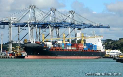
 INDEPENDENT QUEST
Current Status
Where is the vessel?
INDEPENDENT QUEST is currently in 174 nm SE of Lower Sackville, based on AIS data received less than 1h ago.
Latest AIS update:
Current position: 44.00515° N, 39.86505° W (174 nm SE of Lower Sackville)
Average speed (last 7 days): Loading…
Average speed (last 30 days): Loading…
Vessel profile: INDEPENDENT QUEST is a Container Ship with dimensions 220m x 32m.
This page combines live AIS, route history, probable destination signals, nearby traffic, and port activity for practical vessel monitoring.
The current position of vessel INDEPENDENT QUEST is 44.00515 lat / -39.86505 lng. Updated: 2026-05-14 04:05:53 UTCCurrently sailing under the flag of Portugal (MAR) ![]()
INDEPENDENT QUEST built in 2005 year
Deadweight:
41743 tDetails:
Live Vessel INDEPENDENT QUEST Analytics (details, animations, etc.)
Recent AIS points (UTC):
2026-05-14 02:03:20 UTC · 44.18393, -39.25057 · SOG 14.6 kn · COG 245°2026-05-14 02:47:58 UTC · 44.11333, -39.47500 · SOG 13 kn · COG -1°
2026-05-14 03:32:52 UTC · 44.04998, -39.69651 · SOG 13.9 kn · COG 247°
2026-05-14 04:05:53 UTC · 44.00515, -39.86505 · SOG 14.1 kn · COG 246°