 vesseltracker.com
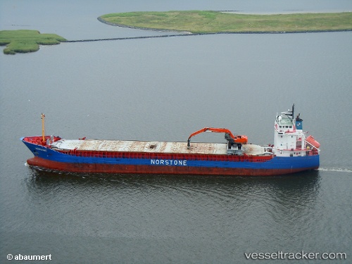
 Norvind
Current Status
Where is the vessel?
Norvind is currently in Near Wismar, based on AIS data received about 2h ago.
Latest AIS update:
Current position: 53.93861° N, 11.41673° E (Near Wismar)
Average speed (last 7 days): Loading…
Average speed (last 30 days): Loading…
Vessel profile: Norvind is a Multi Purpose Carrier with dimensions 110m x 15m.
This page combines live AIS, route history, probable destination signals, nearby traffic, and port activity for practical vessel monitoring.
The current position of vessel Norvind is 53.93861 lat / 11.41673 lng. Updated: 2026-03-28 19:35:34 UTCNearest reference points:
- Near Wismar
- Near Grossenbrode
- Near BURGSTAAKEN
Currently sailing under the flag of Norway ![]()
Norvind built in 2002 year
Deadweight:
5916 tDetails:
Live Vessel Norvind Analytics (details, animations, etc.)
Recent AIS points (UTC):
2026-03-28 14:01:13 UTC · 54.68585, 10.90237 · SOG 10.2 kn · COG 121°2026-03-28 15:46:29 UTC · 54.52601, 11.34436 · SOG 9.8 kn · COG 150°
2026-03-28 17:47:23 UTC · 54.19225, 11.42106 · SOG 10.3 kn · COG 177°
2026-03-28 19:35:34 UTC · 53.93861, 11.41673 · SOG 7.8 kn · COG 157°