 vesseltracker.com
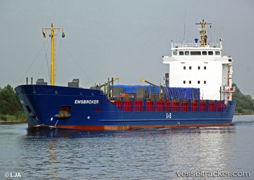
 Norbris
Current Status
Where is the vessel?
Norbris is currently in 17 nm E of Mörbylånga, based on AIS data received less than 1h ago.
Latest AIS update:
Current position: 56.45475° N, 16.88757° E (17 nm E of Mörbylånga)
Average speed (last 7 days): Loading…
Average speed (last 30 days): Loading…
Vessel profile: Norbris is a Multi Purpose Carrier with dimensions 110m x 15m.
This page combines live AIS, route history, probable destination signals, nearby traffic, and port activity for practical vessel monitoring.
The current position of vessel Norbris is 56.45475 lat / 16.88757 lng. Updated: 2026-04-30 15:47:14 UTCNearest reference points:
- Near Karlskrona
- 31 nm NW of Ustka
- Near RONNEBY
Currently sailing under the flag of Norway ![]()
Norbris built in 2002 year
Deadweight:
5917 tDetails:
Live Vessel Norbris Analytics (details, animations, etc.)
Recent AIS points (UTC):
2026-04-30 11:51:13 UTC · 57.18772, 17.20933 · SOG 11.6 kn · COG 177°2026-04-30 13:38:29 UTC · 56.85264, 17.09797 · SOG 11.5 kn · COG 193°
2026-04-30 13:56:13 UTC · 56.79760, 17.06947 · SOG 11.4 kn · COG 193°
2026-04-30 15:47:14 UTC · 56.45475, 16.88757 · SOG 11.4 kn · COG 193°