 vesseltracker.com
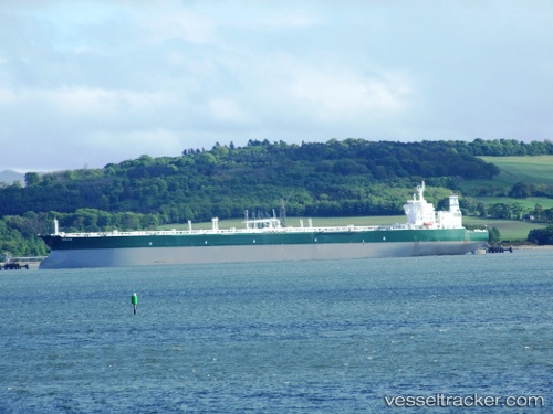
 ABIE
ABIE
Current Status
Where is the vessel?
ABIE is currently in 60 nm NE of Xijiang, based on AIS data received less than 1h ago.
Latest AIS update:
Current position: 21.82333° N, 115.77500° E (60 nm NE of Xijiang)
Average speed (last 7 days): Loading…
Average speed (last 30 days): Loading…
Vessel profile: ABIE is a Crude Oil Tanker with dimensions m x m.
This page combines live AIS, route history, probable destination signals, nearby traffic, and port activity for practical vessel monitoring.
The current position of vessel ABIE is 21.82333 lat / 115.77500 lng. Updated: 2026-05-14 14:23:17 UTCNearest reference points:
- 49 nm S of SHANWEI
- 53 nm S of Jiazi
- 16 nm S of Wukan
Currently sailing under the flag of Barbados ![]()
Details:
Live Vessel ABIE Analytics (details, animations, etc.)
Recent AIS points (UTC):
2026-05-14 10:37:34 UTC · 21.79438, 115.67824 · SOG 1.7 kn · COG 113°2026-05-14 12:14:46 UTC · 21.80970, 115.72056 · SOG 1.9 kn · COG 91°
2026-05-14 13:23:20 UTC · 21.81849, 115.75249 · SOG 1 kn · COG 94°
2026-05-14 14:23:17 UTC · 21.82333, 115.77500 · SOG 1 kn · COG -1°