 vesseltracker.com
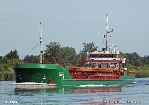
 Leiria
Current Status
Where is the vessel?
Leiria is currently in 29 nm SE of Cornwall, based on AIS data received about 3h ago.
Latest AIS update:
Current position: 49.62131° N, 3.80738° W (29 nm SE of Cornwall)
Average speed (last 7 days): Loading…
Average speed (last 30 days): Loading…
Vessel profile: Leiria is a General Cargo Ship with dimensions 89m x 11m.
This page combines live AIS, route history, probable destination signals, nearby traffic, and port activity for practical vessel monitoring.
The current position of vessel Leiria is 49.62131 lat / -3.80738 lng. Updated: 2026-04-08 19:59:02 UTCNearest reference points:
- 27 nm N of Verzy
- 12 nm S of Cornwall
- Near Verzy
Currently sailing under the flag of Antigua Barbuda ![]()
Leiria built in 2003 year
Deadweight:
2652 tDetails:
Live Vessel Leiria Analytics (details, animations, etc.)
Recent AIS points (UTC):
2026-04-08 14:15:12 UTC · 49.99888, -2.66980 · SOG 8.3 kn · COG 254°2026-04-08 16:10:02 UTC · 49.89088, -3.07625 · SOG 9.4 kn · COG 238°
2026-04-08 17:42:01 UTC · 49.76948, -3.38693 · SOG 8.9 kn · COG 242°
2026-04-08 19:59:02 UTC · 49.62131, -3.80738 · SOG 7.2 kn · COG 246°