 vesseltracker.com
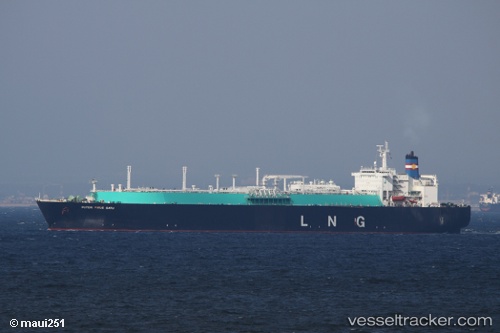
Puteri Firus Satu
Current StatusWhere is the vessel?
Puteri Firus Satu is currently in 11 nm NW of Sipitang, based on AIS data received about 11d ago.
Latest AIS update:
Current position: 5.18557° N, 115.40358° E (11 nm NW of Sipitang)
Average speed (last 7 days): Loading…
Average speed (last 30 days): Loading…
Vessel profile: Puteri Firus Satu is a Lng Tanker with dimensions 43m x 276m.
This page combines live AIS, route history, probable destination signals, nearby traffic, and port activity for practical vessel monitoring.
The current position of vessel Puteri Firus Satu is 5.18557 lat / 115.40358 lng. Updated: 2026-05-03 02:11:34 UTCNearest reference points:
- Near Kota Kinabalu
- 44 nm SW of Tembungo
- Near Kikeh
Details:
Live Vessel Puteri Firus Satu Analytics (details, animations, etc.)
Recent AIS points (UTC):
2026-05-03 02:11:34 UTC · 5.18557, 115.40358 · SOG 0 kn · COG -1°2026-05-03 02:11:34 UTC · 5.18557, 115.40358 · SOG 0 kn · COG -1°
2026-05-03 02:11:34 UTC · 5.18557, 115.40358 · SOG 0 kn · COG -1°
2026-05-03 02:11:34 UTC · 5.18557, 115.40358 · SOG 0 kn · COG -1°