 vesseltracker.com
 IRON WAVE
Current Status
Where is the vessel?
IRON WAVE is currently in 87 nm N of Darnah, based on AIS data received about 8h ago.
Latest AIS update:
Current position: 34.10235° N, 21.98443° E (87 nm N of Darnah)
Average speed (last 7 days): Loading…
Average speed (last 30 days): Loading…
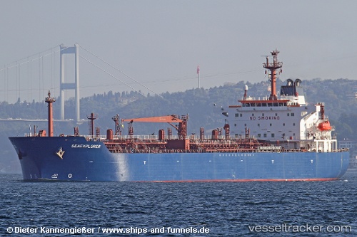
Vessel profile: IRON WAVE is a Oil/Chemical Tanker with dimensions m x m.
This page combines live AIS, route history, probable destination signals, nearby traffic, and port activity for practical vessel monitoring.
The current position of vessel IRON WAVE is 34.10235 lat / 21.98443 lng. Updated: 2026-05-14 05:08:26 UTCNearest reference points:
- 85 nm W of Paleochora
- 59 nm W of Paleochora
- 61 nm N of Al Marj
Currently sailing under the flag of Cameroon ![]()
Details:
Live Vessel IRON WAVE Analytics (details, animations, etc.)
Recent AIS points (UTC):
2026-05-14 05:08:26 UTC · 34.10235, 21.98443 · SOG 11.3 kn · COG 289°2026-05-14 05:08:26 UTC · 34.10235, 21.98443 · SOG 11.3 kn · COG 289°
2026-05-14 05:08:26 UTC · 34.10235, 21.98443 · SOG 11.3 kn · COG 289°
2026-05-14 05:08:26 UTC · 34.10235, 21.98443 · SOG 11.3 kn · COG 289°