 vesseltracker.com
 Petrogaruda
Current Status
Where is the vessel?
Petrogaruda is currently in Near Tanjungbalai, based on AIS data received about 234d ago.
Latest AIS update:
Current position: 1.14968° N, 103.36423° E (Near Tanjungbalai)
Average speed (last 7 days): Loading…
Average speed (last 30 days): Loading…
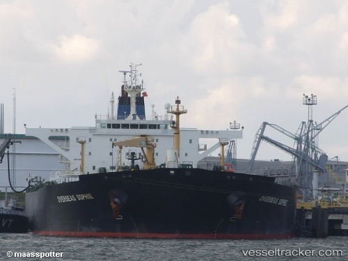
Vessel profile: Petrogaruda is a Crude Oil Tanker with dimensions 250m x 44m.
This page combines live AIS, route history, probable destination signals, nearby traffic, and port activity for practical vessel monitoring.
The current position of vessel Petrogaruda is 1.14968 lat / 103.36423 lng. Updated: 2025-09-23 04:28:59 UTCNearest reference points:
- Near Tanjungbalai
- Near Nipah
- 15 nm W of Tanjong Bin
Currently sailing under the flag of Indonesia ![]()
Petrogaruda built in 2003 year
Deadweight:
112045 tDetails:
Live Vessel Petrogaruda Analytics (details, animations, etc.)
Recent AIS points (UTC):
2025-09-23 04:28:59 UTC · 1.14968, 103.36423 · SOG 4.9 kn · COG -1°