 vesseltracker.com
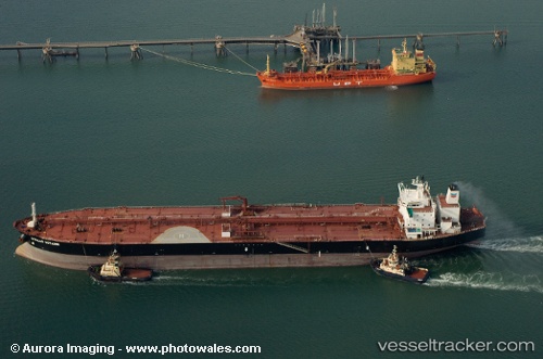
New Friendship
Current StatusWhere is the vessel?
New Friendship is currently in 18 nm NE of Viinistu Sadam, based on AIS data received less than 1h ago.
Latest AIS update:
Current position: 59.88345° N, 26.12063° E (18 nm NE of Viinistu Sadam)
Average speed (last 7 days): Loading…
Average speed (last 30 days): Loading…
Vessel profile: New Friendship is a Crude Oil Tanker with dimensions 42m x 244m.
This page combines live AIS, route history, probable destination signals, nearby traffic, and port activity for practical vessel monitoring.
The current position of vessel New Friendship is 59.88345 lat / 26.12063 lng. Updated: 2026-05-15 01:01:34 UTCNearest reference points:
- 13 nm N of Viinistu Sadam
- Near Vessölandet
- Near Vuosaari (Nordsjö)
Details:
Live Vessel New Friendship Analytics (details, animations, etc.)
Recent AIS points (UTC):
2026-05-14 21:36:15 UTC · 59.88226, 26.11975 · SOG 0.3 kn · COG 93°2026-05-14 22:45:14 UTC · 59.88263, 26.11984 · SOG 0.6 kn · COG 101°
2026-05-15 00:01:33 UTC · 59.88282, 26.12001 · SOG 0.2 kn · COG 105°
2026-05-15 01:01:34 UTC · 59.88345, 26.12063 · SOG 1.3 kn · COG 128°