 vesseltracker.com
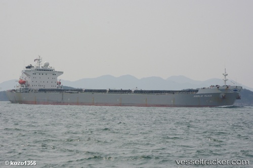
 ANGELIC PEACE
Current Status
Where is the vessel?
ANGELIC PEACE is currently in Near PENGERANG, based on AIS data received about 3h ago.
Latest AIS update:
Current position: 1.32316° N, 104.28244° E (Near PENGERANG)
Average speed (last 7 days): Loading…
Average speed (last 30 days): Loading…
Vessel profile: ANGELIC PEACE is a Bulk Carrier with dimensions 32m x 225m.
This page combines live AIS, route history, probable destination signals, nearby traffic, and port activity for practical vessel monitoring.
The current position of vessel ANGELIC PEACE is 1.32316 lat / 104.28244 lng. Updated: 2026-05-14 23:43:16 UTCNearest reference points:
- Near PENGERANG
- Near Tanjung Setapa
- Near TANAH MERAH
Currently sailing under the flag of Liberia ![]()
ANGELIC PEACE built in 2001 year
Deadweight:
75007 tDetails:
Live Vessel ANGELIC PEACE Analytics (details, animations, etc.)
Recent AIS points (UTC):
2026-05-14 20:13:14 UTC · 1.32451, 104.28618 · SOG 0 kn · COG 241°2026-05-14 22:10:14 UTC · 1.32286, 104.28564 · SOG 0.2 kn · COG 309°
2026-05-14 22:28:14 UTC · 1.32248, 104.28436 · SOG 0.3 kn · COG 350°
2026-05-14 23:43:16 UTC · 1.32316, 104.28244 · SOG 0.5 kn · COG 82°