 vesseltracker.com
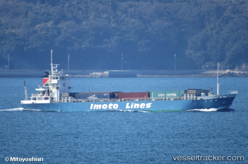
 HIROAN
Current Status
Where is the vessel?
HIROAN is currently in Near Jinhae, based on AIS data received less than 1h ago.
Latest AIS update:
Current position: 35.13010° N, 128.69543° E (Near Jinhae)
Average speed (last 7 days): Loading…
Average speed (last 30 days): Loading…
Vessel profile: HIROAN is a Cargo with dimensions m x m.
This page combines live AIS, route history, probable destination signals, nearby traffic, and port activity for practical vessel monitoring.
The current position of vessel HIROAN is 35.13010 lat / 128.69543 lng. Updated: 2026-05-17 21:28:37 UTCNearest reference points:
- Near Jinhae
- Near BUSAN NEW PORT
- Near Masan
Currently sailing under the flag of Panama ![]()
Details:
Live Vessel HIROAN Analytics (details, animations, etc.)
Recent AIS points (UTC):
2026-05-17 18:01:36 UTC · 35.13011, 128.69542 · SOG 0 kn · COG 328°2026-05-17 19:58:42 UTC · 35.13009, 128.69537 · SOG 0 kn · COG 328°
2026-05-17 20:16:44 UTC · 35.13011, 128.69540 · SOG 0 kn · COG 328°
2026-05-17 21:28:37 UTC · 35.13010, 128.69543 · SOG 0 kn · COG 327°