 vesseltracker.com
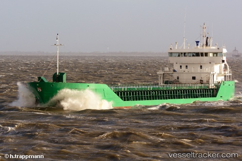
 FAMITA
Current Status
Where is the vessel?
FAMITA is currently in Near Sankt Ibb, based on AIS data received about 2h ago.
Latest AIS update:
Current position: 55.92552° N, 12.63802° E (Near Sankt Ibb)
Average speed (last 7 days): Loading…
Average speed (last 30 days): Loading…
Vessel profile: FAMITA is a General Cargo with dimensions m x m.
This page combines live AIS, route history, probable destination signals, nearby traffic, and port activity for practical vessel monitoring.
The current position of vessel FAMITA is 55.92552 lat / 12.63802 lng. Updated: 2026-05-15 01:15:57 UTCNearest reference points:
- Near Espergærde
- Near Rydebäck
- Near Sankt Ibb
Currently sailing under the flag of Bahamas ![]()
Details:
Live Vessel FAMITA Analytics (details, animations, etc.)
Recent AIS points (UTC):
2026-05-14 22:01:08 UTC · 56.24835, 12.37254 · SOG 7.4 kn · COG 164°2026-05-14 22:37:27 UTC · 56.17701, 12.40771 · SOG 7.3 kn · COG 160°
2026-05-14 23:58:57 UTC · 56.06406, 12.61886 · SOG 6.9 kn · COG 130°
2026-05-15 01:15:57 UTC · 55.92552, 12.63802 · SOG 6.3 kn · COG 176°