 vesseltracker.com
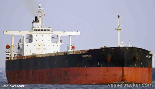
 XH EXPLORER
Current Status
Where is the vessel?
XH EXPLORER is currently in Near Hatch Point, based on AIS data received less than 1h ago.
Latest AIS update:
Current position: 48.71900° N, 123.54133° W (Near Hatch Point)
Average speed (last 7 days): Loading…
Average speed (last 30 days): Loading…
Vessel profile: XH EXPLORER is a Bulk Carrier with dimensions 45m x 289m.
This page combines live AIS, route history, probable destination signals, nearby traffic, and port activity for practical vessel monitoring.
The current position of vessel XH EXPLORER is 48.71900 lat / -123.54133 lng. Updated: 2026-04-23 11:58:12 UTCNearest reference points:
- Near North Saanich
- Near Salt Spring Island
- Near GANGES
Currently sailing under the flag of Liberia ![]()
XH EXPLORER built in 2003 year
Deadweight:
176298 tDetails:
Live Vessel XH EXPLORER Analytics (details, animations, etc.)
Recent AIS points (UTC):
2026-04-23 08:16:04 UTC · 48.72320, -123.54199 · SOG 0.1 kn · COG 215°2026-04-23 10:16:14 UTC · 48.72035, -123.54012 · SOG 0 kn · COG 293°
2026-04-23 10:55:14 UTC · 48.71929, -123.54081 · SOG 0 kn · COG 316°
2026-04-23 11:58:12 UTC · 48.71900, -123.54133 · SOG 0 kn · COG 329°