 vesseltracker.com
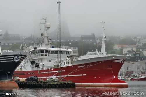
 Tummas T
Current Status
Where is the vessel?
Tummas T is currently in Near RUNAVIK, based on AIS data received less than 1h ago.
Latest AIS update:
Current position: 62.11218° N, 6.72653° W (Near RUNAVIK)
Average speed (last 7 days): Loading…
Average speed (last 30 days): Loading…
Vessel profile: Tummas T is a Fish Carrier with dimensions m x m.
This page combines live AIS, route history, probable destination signals, nearby traffic, and port activity for practical vessel monitoring.
The current position of vessel Tummas T is 62.11218 lat / -6.72653 lng. Updated: 2026-05-13 22:17:29 UTCNearest reference points:
- Near FUGLAFJORDUR
- Near VESTMANNA
- 20 nm S of Vágur
Currently sailing under the flag of Faroe Is ![]()
Tummas T built in 2002 year
Details:
Live Vessel Tummas T Analytics (details, animations, etc.)
Recent AIS points (UTC):
2026-05-13 19:08:09 UTC · 62.11218, -6.72647 · SOG 0 kn · COG 87°2026-05-13 19:39:59 UTC · 62.11221, -6.72653 · SOG 0 kn · COG 87°
2026-05-13 22:09:50 UTC · 62.11216, -6.72655 · SOG 0 kn · COG 87°
2026-05-13 22:17:29 UTC · 62.11218, -6.72653 · SOG 0 kn · COG 87°