 vesseltracker.com
 Kelly
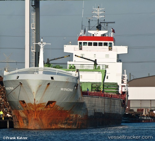
Kelly
Current Status
Where is the vessel?
Kelly is currently in Near Kilronan, based on AIS data received less than 1h ago.
Latest AIS update:
Current position: 52.60210° N, 9.57075° W (Near Kilronan)
Average speed (last 7 days): Loading…
Average speed (last 30 days): Loading…
Vessel profile: Kelly is a Multi Purpose Carrier with dimensions 132m x 16m.
This page combines live AIS, route history, probable destination signals, nearby traffic, and port activity for practical vessel monitoring.
The current position of vessel Kelly is 52.6021 lat / -9.57075 lng. Updated: 2026-04-30 10:52:27 UTCNearest reference points:
- Near Tarbert Island
- Near CASTLETOWN BEARHAVEN
- Near Skull
Currently sailing under the flag of Malta ![]()
Kelly built in 2004 year
Deadweight:
9857 tDetails:
Live Vessel Kelly Analytics (details, animations, etc.)
Recent AIS points (UTC):
2026-04-30 07:22:34 UTC · 52.60180, -9.57021 · SOG 0 kn · COG 98°2026-04-30 08:04:27 UTC · 52.60190, -9.57024 · SOG 0 kn · COG 101°
2026-04-30 09:52:28 UTC · 52.60190, -9.57074 · SOG 0.3 kn · COG 116°
2026-04-30 10:52:27 UTC · 52.60210, -9.57075 · SOG 0 kn · COG 114°