 vesseltracker.com
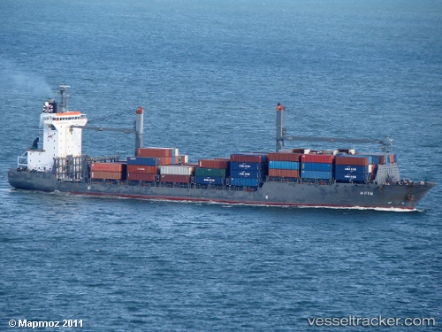
 MSC PROSPERITY II
Current Status
Where is the vessel?
MSC PROSPERITY II is currently in 34 nm W of KULEVI, based on AIS data received less than 1h ago.
Latest AIS update:
Current position: 42.25803° N, 40.85922° E (34 nm W of KULEVI)
Average speed (last 7 days): Loading…
Average speed (last 30 days): Loading…
Vessel profile: MSC PROSPERITY II is a Container Ship with dimensions m x m.
This page combines live AIS, route history, probable destination signals, nearby traffic, and port activity for practical vessel monitoring.
The current position of vessel MSC PROSPERITY II is 42.25803 lat / 40.85922 lng. Updated: 2026-05-14 05:01:39 UTCNearest reference points:
- 31 nm N of Pazar
- Near KULEVI
- Near Poti
Currently sailing under the flag of Liberia ![]()
Details:
Live Vessel MSC PROSPERITY II Analytics (details, animations, etc.)
Recent AIS points (UTC):
2026-05-14 01:44:09 UTC · 42.15196, 41.65061 · SOG 1.2 kn · COG 107°2026-05-14 02:56:19 UTC · 42.18004, 41.41589 · SOG 12.1 kn · COG 264°
2026-05-14 04:01:30 UTC · 42.21259, 41.12817 · SOG 12.1 kn · COG 282°
2026-05-14 05:01:39 UTC · 42.25803, 40.85922 · SOG 12.7 kn · COG 282°