 vesseltracker.com
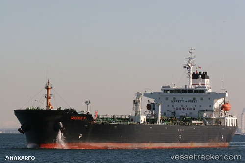
 AQUALIS
Current Status
Where is the vessel?
AQUALIS is currently in 25 nm NW of Soroosh (Cyrus) Terminal, based on AIS data received about 2d ago.
Latest AIS update:
Current position: 29.19500° N, 49.02333° E (25 nm NW of Soroosh (Cyrus) Terminal)
Average speed (last 7 days): Loading…
Average speed (last 30 days): Loading…
Vessel profile: AQUALIS is a Crude Oil Tanker with dimensions m x m.
This page combines live AIS, route history, probable destination signals, nearby traffic, and port activity for practical vessel monitoring.
The current position of vessel AQUALIS is 29.19500 lat / 49.02333 lng. Updated: 2026-05-11 14:35:07 UTCNearest reference points:
- 25 nm W of Soroosh (Cyrus) Terminal
- 19 nm SW of Soroosh (Cyrus) Terminal
- 11 nm SW of Basrah Oil Terminal
Details:
Live Vessel AQUALIS Analytics (details, animations, etc.)
Recent AIS points (UTC):
2026-05-11 14:35:07 UTC · 29.19500, 49.02333 · SOG 0 kn · COG -1°2026-05-11 14:35:07 UTC · 29.19500, 49.02333 · SOG 0 kn · COG -1°
2026-05-11 14:35:07 UTC · 29.19500, 49.02333 · SOG 0 kn · COG -1°
2026-05-11 14:35:07 UTC · 29.19500, 49.02333 · SOG 0 kn · COG -1°