 vesseltracker.com
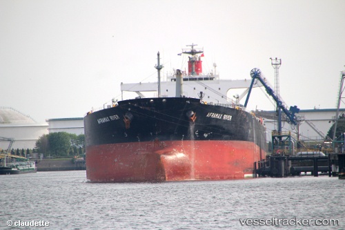
Aframax River
Current StatusWhere is the vessel?
Aframax River is currently in 51 nm W of Terempa, based on AIS data received about 357d ago.
Latest AIS update:
Current position: 3.18242° N, 105.36602° E (51 nm W of Terempa)
Average speed (last 7 days): Loading…
Average speed (last 30 days): Loading…
Vessel profile: Aframax River is a Crude Oil Tanker with dimensions 42m x 246m.
This page combines live AIS, route history, probable destination signals, nearby traffic, and port activity for practical vessel monitoring.
The current position of vessel Aframax River is 3.18242 lat / 105.36602 lng. Updated: 2025-05-22 15:55:16 UTCNearest reference points:
- 39 nm SE of Belida Terminal
- 80 nm SW of Terempa
- 30 nm SW of Belanak Terminal
Details:
Live Vessel Aframax River Analytics (details, animations, etc.)
Recent AIS points (UTC):
2025-05-22 15:55:16 UTC · 3.18242, 105.36602 · SOG 8.9 kn · COG 206°