 vesseltracker.com
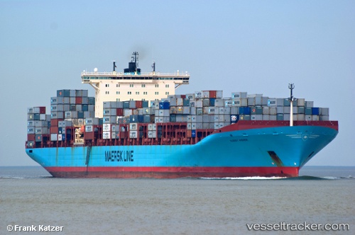
 KOSTAS K
Current Status
Where is the vessel?
KOSTAS K is currently in 22 nm SE of Maji Shan, based on AIS data received about 1h ago.
Latest AIS update:
Current position: 30.43523° N, 122.72375° E (22 nm SE of Maji Shan)
Average speed (last 7 days): Loading…
Average speed (last 30 days): Loading…
Vessel profile: KOSTAS K is a Container Ship with dimensions m x m.
This page combines live AIS, route history, probable destination signals, nearby traffic, and port activity for practical vessel monitoring.
The current position of vessel KOSTAS K is 30.43523 lat / 122.72375 lng. Updated: 2026-05-13 23:58:03 UTCNearest reference points:
- 31 nm SE of Lü-hua Shan
- 16 nm E of JINHAI HEAVY INDUSTR
- 36 nm E of JINHAI HEAVY INDUSTR
Currently sailing under the flag of Liberia ![]()
Details:
Live Vessel KOSTAS K Analytics (details, animations, etc.)
Recent AIS points (UTC):
2026-05-13 19:58:03 UTC · 30.43172, 122.72477 · SOG 0.2 kn · COG 59°2026-05-13 21:22:02 UTC · 30.43390, 122.72340 · SOG 0.1 kn · COG 107°
2026-05-13 21:57:46 UTC · 30.43500, 122.72333 · SOG 0 kn · COG -1°
2026-05-13 23:58:03 UTC · 30.43523, 122.72375 · SOG 0 kn · COG 139°