 vesseltracker.com
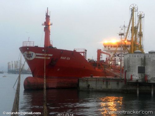
Santa Lucia
Current StatusWhere is the vessel?
Santa Lucia is currently in Near Il-Kappara, based on AIS data received about 2h ago.
Latest AIS update:
Current position: 35.83743° N, 14.59711° E (Near Il-Kappara)
Average speed (last 7 days): Loading…
Average speed (last 30 days): Loading…
Vessel profile: Santa Lucia is a Chemical Oil Products Tanker with dimensions 15m x 105m.
This page combines live AIS, route history, probable destination signals, nearby traffic, and port activity for practical vessel monitoring.
The current position of vessel Santa Lucia is 35.83743 lat / 14.59711 lng. Updated: 2026-05-15 01:16:11 UTCNearest reference points:
- Near Xghajra
- Near Birgu (Vittoriosa)
- Near Valletta
Details:
Live Vessel Santa Lucia Analytics (details, animations, etc.)
Recent AIS points (UTC):
2026-05-14 21:58:06 UTC · 35.83461, 14.59703 · SOG 0 kn · COG 350°2026-05-14 22:34:04 UTC · 35.83501, 14.59695 · SOG 0 kn · COG 333°
2026-05-14 23:52:10 UTC · 35.83549, 14.59602 · SOG 0 kn · COG 79°
2026-05-15 01:16:11 UTC · 35.83743, 14.59711 · SOG 0 kn · COG 218°