 vesseltracker.com
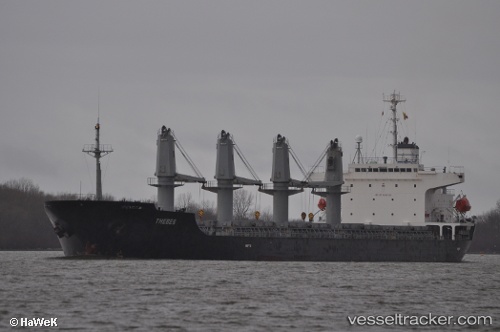
Binnur C
Current StatusWhere is the vessel?
Binnur C is currently in 23 nm W of Finisterre, based on AIS data received about 1h ago.
Latest AIS update:
Current position: 42.91552° N, 9.79118° W (23 nm W of Finisterre)
Average speed (last 7 days): Loading…
Average speed (last 30 days): Loading…
Vessel profile: Binnur C is a Bulk Carrier with dimensions 29m x 177m.
This page combines live AIS, route history, probable destination signals, nearby traffic, and port activity for practical vessel monitoring.
The current position of vessel Binnur C is 42.91552 lat / -9.79118 lng. Updated: 2026-05-14 11:33:52 UTCNearest reference points:
- 40 nm NW of Sarinena
- Near Portosin
- 13 nm NE of Villanueva de Lorenzana
Details:
Live Vessel Binnur C Analytics (details, animations, etc.)
Recent AIS points (UTC):
2026-05-14 07:17:28 UTC · 42.22667, -9.82167 · SOG 10 kn · COG -1°2026-05-14 09:42:34 UTC · 42.62680, -9.79773 · SOG 9.3 kn · COG 357°
2026-05-14 10:29:26 UTC · 42.75167, -9.79167 · SOG 9 kn · COG -1°
2026-05-14 11:33:52 UTC · 42.91552, -9.79118 · SOG 8.6 kn · COG 358°