 vesseltracker.com
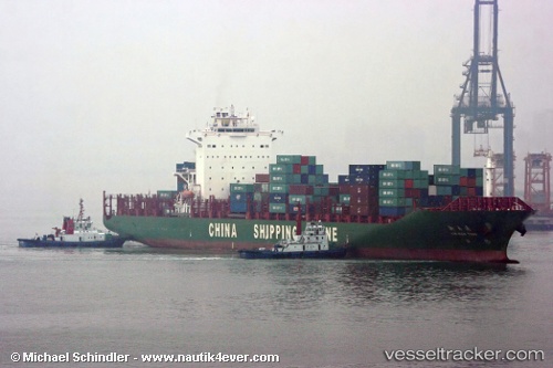
 Xin Nan Tong
Current Status
Where is the vessel?
Xin Nan Tong is currently in 54 nm NW of Kenitra, based on AIS data received less than 1h ago.
Latest AIS update:
Current position: 34.79500° N, 7.47833° W (54 nm NW of Kenitra)
Average speed (last 7 days): Loading…
Average speed (last 30 days): Loading…
Vessel profile: Xin Nan Tong is a Container Ship with dimensions 263m x 32m.
This page combines live AIS, route history, probable destination signals, nearby traffic, and port activity for practical vessel monitoring.
The current position of vessel Xin Nan Tong is 34.79500 lat / -7.47833 lng. Updated: 2026-05-02 14:08:57 UTCNearest reference points:
- Near Mohammedia
- 45 nm W of Gibraltar
- 54 nm N of El Jadida
Currently sailing under the flag of China ![]()
Details:
Live Vessel Xin Nan Tong Analytics (details, animations, etc.)
Recent AIS points (UTC):
2026-05-02 10:12:46 UTC · 34.15939, -8.12929 · SOG 12.5 kn · COG 46°2026-05-02 11:41:57 UTC · 34.38667, -7.86500 · SOG 12 kn · COG -1°
2026-05-02 13:35:58 UTC · 34.70833, -7.57500 · SOG 12 kn · COG -1°
2026-05-02 14:08:57 UTC · 34.79500, -7.47833 · SOG 12 kn · COG -1°