 vesseltracker.com
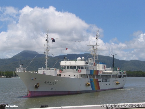
 ENISEY
Current Status
Where is the vessel?
ENISEY is currently in 66 nm W of Terempa, based on AIS data received less than 1h ago.
Latest AIS update:
Current position: 2.83826° N, 105.18432° E (66 nm W of Terempa)
Average speed (last 7 days): Loading…
Average speed (last 30 days): Loading…
Vessel profile: ENISEY is a Fishing Vessel with dimensions 9m x 56m.
This page combines live AIS, route history, probable destination signals, nearby traffic, and port activity for practical vessel monitoring.
The current position of vessel ENISEY is 2.83826 lat / 105.18432 lng. Updated: 2026-05-02 17:52:49 UTCNearest reference points:
- 80 nm SW of Terempa
- 64 nm NE of PENGERANG
- 39 nm SE of Belida Terminal
Currently sailing under the flag of Russia ![]()
ENISEY built in 2002 year
Deadweight:
0 tDetails:
Live Vessel ENISEY Analytics (details, animations, etc.)
Recent AIS points (UTC):
2026-05-02 09:24:03 UTC · 4.25487, 106.07782 · SOG 12.4 kn · COG 214°2026-05-02 15:51:28 UTC · 3.16059, 105.34913 · SOG 11.6 kn · COG 216°
2026-05-02 16:32:58 UTC · 3.04683, 105.27547 · SOG 11.6 kn · COG 215°
2026-05-02 17:52:49 UTC · 2.83826, 105.18432 · SOG 8.1 kn · COG 202°