 vesseltracker.com
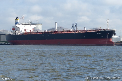
 LADY SERENITY
Current Status
Where is the vessel?
LADY SERENITY is currently in Near SHINAS, based on AIS data received about 15h ago.
Latest AIS update:
Current position: 24.76847° N, 56.59523° E (Near SHINAS)
Average speed (last 7 days): Loading…
Average speed (last 30 days): Loading…
Vessel profile: LADY SERENITY is a Oil Products Tanker with dimensions 180m x 180m.
This page combines live AIS, route history, probable destination signals, nearby traffic, and port activity for practical vessel monitoring.
The current position of vessel LADY SERENITY is 24.76847 lat / 56.59523 lng. Updated: 2026-05-15 09:40:46 UTCNearest reference points:
- 18 nm SE of SHINAS
- 17 nm SE of Shinas
- Near Fujairah
Currently sailing under the flag of Panama ![]()
LADY SERENITY built in 2004 year
Deadweight:
47999 tDetails:
Live Vessel LADY SERENITY Analytics (details, animations, etc.)
Recent AIS points (UTC):
2026-05-15 09:40:46 UTC · 24.76847, 56.59523 · SOG 0 kn · COG -1°2026-05-15 09:40:46 UTC · 24.76847, 56.59523 · SOG 0 kn · COG -1°
2026-05-15 09:40:46 UTC · 24.76847, 56.59523 · SOG 0 kn · COG -1°
2026-05-15 09:40:46 UTC · 24.76847, 56.59523 · SOG 0 kn · COG -1°