 vesseltracker.com
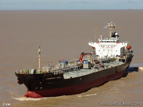
 HELEN
HELEN
Current Status
Where is the vessel?
HELEN is currently in 49 nm N of Los Ramos, based on AIS data received less than 1h ago.
Latest AIS update:
Current position: 38.77201° N, 10.61436° W (49 nm N of Los Ramos)
Average speed (last 7 days): Loading…
Average speed (last 30 days): Loading…
Vessel profile: HELEN is a Oil/Chemical Tanker with dimensions m x m.
This page combines live AIS, route history, probable destination signals, nearby traffic, and port activity for practical vessel monitoring.
The current position of vessel HELEN is 38.77201 lat / -10.61436 lng. Updated: 2026-05-17 15:36:08 UTCNearest reference points:
- 18 nm W of Colares
- Near CASCAIS
- Near PENICHE
Currently sailing under the flag of Panama ![]()
Details:
Live Vessel HELEN Analytics (details, animations, etc.)
Recent AIS points (UTC):
2026-05-17 08:34:43 UTC · 37.50709, -10.23822 · SOG 11.3 kn · COG 347°2026-05-17 08:34:43 UTC · 37.50709, -10.23822 · SOG 11.3 kn · COG 347°
2026-05-17 08:34:43 UTC · 37.50709, -10.23822 · SOG 11.3 kn · COG 347°
2026-05-17 15:36:08 UTC · 38.77201, -10.61436 · SOG 11.3 kn · COG 3°