 vesseltracker.com
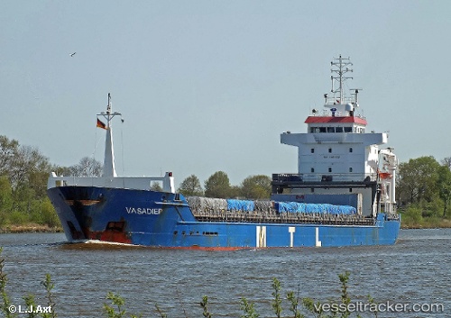
 KETHI
KETHI
Current Status
Where is the vessel?
KETHI is currently in 11 nm N of Nurme, based on AIS data received less than 1h ago.
Latest AIS update:
Current position: 59.75380° N, 24.68510° E (11 nm N of Nurme)
Average speed (last 7 days): Loading…
Average speed (last 30 days): Loading…
Vessel profile: KETHI is a General Cargo Ship with dimensions 118m x 15m.
This page combines live AIS, route history, probable destination signals, nearby traffic, and port activity for practical vessel monitoring.
The current position of vessel KETHI is 59.7538 lat / 24.6851 lng. Updated: 2026-05-15 14:00:38 UTCNearest reference points:
- Near Nurme
- Near Aegna
- Near Vanasadam
Currently sailing under the flag of Malta ![]()
KETHI built in 2002 year
Deadweight:
8370 tDetails:
Live Vessel KETHI Analytics (details, animations, etc.)
Recent AIS points (UTC):
2026-05-15 10:28:29 UTC · 59.57220, 23.53640 · SOG 10.7 kn · COG 72°2026-05-15 11:40:39 UTC · 59.63880, 23.92270 · SOG 10.1 kn · COG 71°
2026-05-15 13:39:48 UTC · 59.74260, 24.56630 · SOG 10.5 kn · COG 91°
2026-05-15 14:00:38 UTC · 59.75380, 24.68510 · SOG 10.7 kn · COG 87°