 vesseltracker.com
 Lucky Bay
Current Status
Where is the vessel?
Lucky Bay is currently in 42 nm SE of Minachi, based on AIS data received about 1h ago.
Latest AIS update:
Current position: 33.42975° N, 136.44096° E (42 nm SE of Minachi)
Average speed (last 7 days): Loading…
Average speed (last 30 days): Loading…
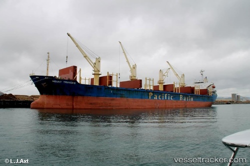
Vessel profile: Lucky Bay is a Bulk Carrier with dimensions 169m x 27m.
This page combines live AIS, route history, probable destination signals, nearby traffic, and port activity for practical vessel monitoring.
The current position of vessel Lucky Bay is 33.42975 lat / 136.44096 lng. Updated: 2026-05-15 00:17:23 UTCNearest reference points:
- 20 nm S of HAMAJIMA
- 23 nm S of Minachi
- 88 nm SE of Minachi
Currently sailing under the flag of Panama ![]()
Lucky Bay built in 2002 year
Deadweight:
28484 tDetails:
Live Vessel Lucky Bay Analytics (details, animations, etc.)
Recent AIS points (UTC):
2026-05-14 22:22:34 UTC · 33.52885, 136.72244 · SOG 9.1 kn · COG 248°2026-05-14 22:22:34 UTC · 33.52885, 136.72244 · SOG 9.1 kn · COG 248°
2026-05-15 00:17:23 UTC · 33.42975, 136.44096 · SOG 7 kn · COG 248°
2026-05-15 00:17:23 UTC · 33.42975, 136.44096 · SOG 7 kn · COG 248°