 vesseltracker.com
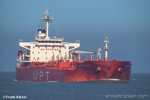
 KOLENTE
Current Status
Where is the vessel?
KOLENTE is currently in 70 nm NW of Bnei Darom, based on AIS data received less than 1h ago.
Latest AIS update:
Current position: 32.73155° N, 30.84165° E (70 nm NW of Bnei Darom)
Average speed (last 7 days): Loading…
Average speed (last 30 days): Loading…
Vessel profile: KOLENTE is a Oil/Chemical Tanker with dimensions m x m.
This page combines live AIS, route history, probable destination signals, nearby traffic, and port activity for practical vessel monitoring.
The current position of vessel KOLENTE is 32.73155 lat / 30.84165 lng. Updated: 2026-05-13 19:16:33 UTCNearest reference points:
- 68 nm SW of Paphos
- Near Damietta
- 21 nm N of Port Said
Currently sailing under the flag of Sierra Leone ![]()
Details:
Live Vessel KOLENTE Analytics (details, animations, etc.)
Recent AIS points (UTC):
2026-05-13 16:25:34 UTC · 32.37221, 31.23269 · SOG 9.8 kn · COG -1°2026-05-13 17:11:34 UTC · 32.46077, 31.12285 · SOG 10.2 kn · COG -1°
2026-05-13 18:17:17 UTC · 32.60285, 30.97662 · SOG 10.2 kn · COG 319°
2026-05-13 19:16:33 UTC · 32.73155, 30.84165 · SOG 10.6 kn · COG 318°