 vesseltracker.com
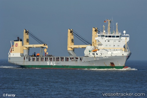
 MARIA
MARIA
Current Status
Where is the vessel?
MARIA is currently in 81 nm NW of Santa Cruz da Graciosa, based on AIS data received less than 1h ago.
Latest AIS update:
Current position: 40.12764° N, 29.11188° W (81 nm NW of Santa Cruz da Graciosa)
Average speed (last 7 days): Loading…
Average speed (last 30 days): Loading…
Vessel profile: MARIA is a General Cargo with dimensions m x m.
This page combines live AIS, route history, probable destination signals, nearby traffic, and port activity for practical vessel monitoring.
The current position of vessel MARIA is 40.12764 lat / -29.11188 lng. Updated: 2026-05-01 22:01:35 UTCNearest reference points:
- Near Praia Da Vitoria
Currently sailing under the flag of Antigua and Barbuda ![]()
Details:
Live Vessel MARIA Analytics (details, animations, etc.)
Recent AIS points (UTC):
2026-05-01 16:33:23 UTC · 40.17826, -27.06869 · SOG 17.7 kn · COG 271°2026-05-01 18:54:19 UTC · 40.15319, -27.96618 · SOG 17.4 kn · COG 270°
2026-05-01 19:57:58 UTC · 40.14370, -28.35995 · SOG 16.9 kn · COG 268°
2026-05-01 22:01:35 UTC · 40.12764, -29.11188 · SOG 16.9 kn · COG 266°