 vesseltracker.com
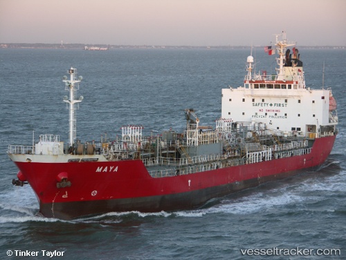
 HARTATI
Current Status
Where is the vessel?
HARTATI is currently in 56 nm NE of Sandakan, based on AIS data received about 15h ago.
Latest AIS update:
Current position: 6.61253° N, 118.62048° E (56 nm NE of Sandakan)
Average speed (last 7 days): Loading…
Average speed (last 30 days): Loading…
Vessel profile: HARTATI is a Oil/Chemical Tanker with dimensions m x m.
This page combines live AIS, route history, probable destination signals, nearby traffic, and port activity for practical vessel monitoring.
The current position of vessel HARTATI is 6.61253 lat / 118.62048 lng. Updated: 2026-05-14 22:28:07 UTCNearest reference points:
- 66 nm W of Jolo
- 35 nm SE of Brookes Point, Palawan
Currently sailing under the flag of Indonesia ![]()
Details:
Live Vessel HARTATI Analytics (details, animations, etc.)
Recent AIS points (UTC):
2026-05-08 23:55:33 UTC · 6.99102, 118.67398 · SOG 9.2 kn · COG 177°2026-05-14 22:28:07 UTC · 6.61253, 118.62048 · SOG 10.3 kn · COG 11°
2026-05-14 22:28:07 UTC · 6.61253, 118.62048 · SOG 10.3 kn · COG 11°
2026-05-14 22:28:07 UTC · 6.61253, 118.62048 · SOG 10.3 kn · COG 11°