 vesseltracker.com
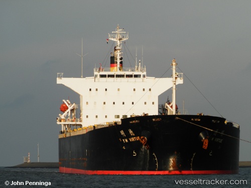
 AGATA
AGATA
Current Status
Where is the vessel?
AGATA is currently in 13 nm NW of Kalana, based on AIS data received less than 1h ago.
Latest AIS update:
Current position: 59.03951° N, 21.72332° E (13 nm NW of Kalana)
Average speed (last 7 days): Loading…
Average speed (last 30 days): Loading…
Vessel profile: AGATA is a Bulk Carrier with dimensions m x m.
This page combines live AIS, route history, probable destination signals, nearby traffic, and port activity for practical vessel monitoring.
The current position of vessel AGATA is 59.03951 lat / 21.72332 lng. Updated: 2026-05-14 21:37:56 UTCNearest reference points:
- 20 nm W of Kalana
- 37 nm W of Vikati Sadam
- Near Nagu (Nauvo)
Currently sailing under the flag of Panama ![]()
Details:
Live Vessel AGATA Analytics (details, animations, etc.)
Recent AIS points (UTC):
2026-05-14 18:24:28 UTC · 58.48577, 21.00802 · SOG 12.4 kn · COG 33°2026-05-14 19:41:47 UTC · 58.70681, 21.28611 · SOG 12.3 kn · COG 34°
2026-05-14 19:50:36 UTC · 58.73185, 21.31876 · SOG 12.4 kn · COG 35°
2026-05-14 21:37:56 UTC · 59.03951, 21.72332 · SOG 12.5 kn · COG 34°