 vesseltracker.com
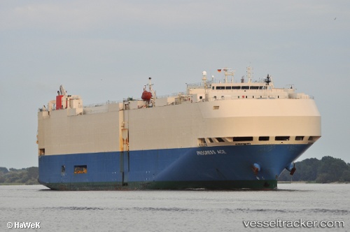
Progress Ace
Current StatusWhere is the vessel?
Progress Ace is currently in 52 nm SW of Kumejima, based on AIS data received about 2h ago.
Latest AIS update:
Current position: 25.74856° N, 126.04391° E (52 nm SW of Kumejima)
Average speed (last 7 days): Loading…
Average speed (last 30 days): Loading…
Vessel profile: Progress Ace is a Vehicles Carrier with dimensions 32m x 200m.
This page combines live AIS, route history, probable destination signals, nearby traffic, and port activity for practical vessel monitoring.
The current position of vessel Progress Ace is 25.74856 lat / 126.04391 lng. Updated: 2026-04-26 10:03:02 UTCNearest reference points:
- 77 nm SE of Miyakojima
- 120 nm NE of Nangang
Details:
Live Vessel Progress Ace Analytics (details, animations, etc.)
Recent AIS points (UTC):
2026-04-26 02:21:57 UTC · 23.47077, 124.77947 · SOG 17.1 kn · COG 37°2026-04-26 08:21:19 UTC · 25.26865, 125.90862 · SOG 17.5 kn · COG 15°
2026-04-26 08:21:19 UTC · 25.26865, 125.90862 · SOG 17.5 kn · COG 15°
2026-04-26 10:03:02 UTC · 25.74856, 126.04391 · SOG 17.3 kn · COG 15°