 vesseltracker.com
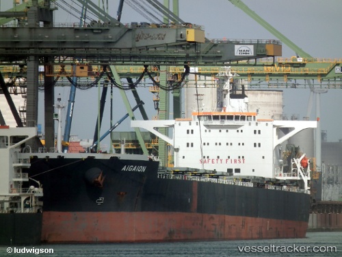
 AIGAION
Current Status
Where is the vessel?
AIGAION is currently in 214 nm W of Baía dos Tigres, based on AIS data received about 2h ago.
Latest AIS update:
Current position: 15.55815° S, 8.18742° E (214 nm W of Baía dos Tigres)
Average speed (last 7 days): Loading…
Average speed (last 30 days): Loading…
Vessel profile: AIGAION is a Bulk Carrier with dimensions m x m.
This page combines live AIS, route history, probable destination signals, nearby traffic, and port activity for practical vessel monitoring.
The current position of vessel AIGAION is -15.55815 lat / 8.18742 lng. Updated: 2026-05-14 01:29:23 UTCCurrently sailing under the flag of Liberia ![]()
Details:
Live Vessel AIGAION Analytics (details, animations, etc.)
Recent AIS points (UTC):
2026-05-13 22:51:46 UTC · -15.97290, 8.40397 · SOG 10.6 kn · COG 333°2026-05-13 23:51:53 UTC · -15.81545, 8.32182 · SOG 10.4 kn · COG 333°
2026-05-14 01:18:53 UTC · -15.58613, 8.20228 · SOG 10.7 kn · COG 333°
2026-05-14 01:29:23 UTC · -15.55815, 8.18742 · SOG 10.7 kn · COG 333°