 vesseltracker.com
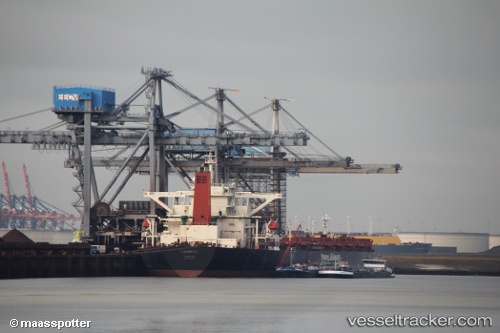
 AN LI
AN LI
Current Status
Where is the vessel?
AN LI is currently in 31 nm SE of Malacca, based on AIS data received less than 1h ago.
Latest AIS update:
Current position: 1.74723° N, 102.53618° E (31 nm SE of Malacca)
Average speed (last 7 days): Loading…
Average speed (last 30 days): Loading…
Vessel profile: AN LI is a Bulk Carrier with dimensions m x m.
This page combines live AIS, route history, probable destination signals, nearby traffic, and port activity for practical vessel monitoring.
The current position of vessel AN LI is 1.74723 lat / 102.53618 lng. Updated: 2026-05-02 10:22:28 UTCNearest reference points:
- 29 nm W of Parit Raja
- 12 nm S of Tangkak
- Near Malacca
Currently sailing under the flag of Liberia ![]()
Details:
Live Vessel AN LI Analytics (details, animations, etc.)
Recent AIS points (UTC):
2026-05-02 07:40:38 UTC · 1.94392, 102.12888 · SOG 9.5 kn · COG 120°2026-05-02 08:25:27 UTC · 1.88543, 102.23245 · SOG 9.6 kn · COG 115°
2026-05-02 10:19:07 UTC · 1.75168, 102.52727 · SOG 10.8 kn · COG 115°
2026-05-02 10:22:28 UTC · 1.74723, 102.53618 · SOG 10.8 kn · COG 116°