 vesseltracker.com
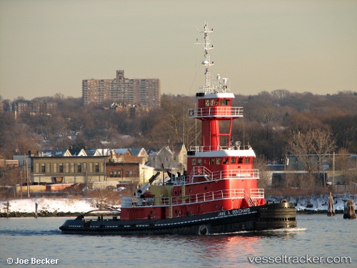
 ANNA ROSE
Current Status
Where is the vessel?
ANNA ROSE is currently in 45 nm W of Florida Straits, based on AIS data received less than 1h ago.
Latest AIS update:
Current position: 24.50500° N, 83.82500° W (45 nm W of Florida Straits)
Average speed (last 7 days): Loading…
Average speed (last 30 days): Loading…
Vessel profile: ANNA ROSE is a Articulated Pusher Tug with dimensions m x m.
This page combines live AIS, route history, probable destination signals, nearby traffic, and port activity for practical vessel monitoring.
The current position of vessel ANNA ROSE is 24.50500 lat / -83.82500 lng. Updated: 2026-04-29 03:52:42 UTCNearest reference points:
- 14 nm W of Florida Straits
- 40 nm S of Florida Straits
- 78 nm SW of Boca Grande
Currently sailing under the flag of United States ![]()
Details:
Live Vessel ANNA ROSE Analytics (details, animations, etc.)
Recent AIS points (UTC):
2026-04-28 23:52:44 UTC · 24.71500, -84.36833 · SOG 8 kn · COG -1°2026-04-29 01:47:58 UTC · 24.61751, -84.11238 · SOG 7.9 kn · COG 116°
2026-04-29 01:59:09 UTC · 24.60755, -84.08759 · SOG 7.9 kn · COG 117°
2026-04-29 03:52:42 UTC · 24.50500, -83.82500 · SOG 8 kn · COG -1°