 vesseltracker.com
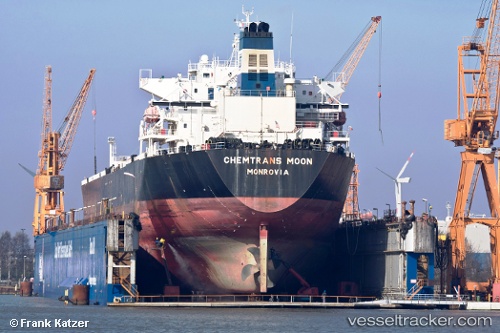
 MOONI
MOONI
Current Status
Where is the vessel?
MOONI is currently in Near Sarköy, based on AIS data received about 1h ago.
Latest AIS update:
Current position: 40.59567° N, 27.11836° E (Near Sarköy)
Average speed (last 7 days): Loading…
Average speed (last 30 days): Loading…
Vessel profile: MOONI is a Oil Products Tanker with dimensions m x m.
This page combines live AIS, route history, probable destination signals, nearby traffic, and port activity for practical vessel monitoring.
The current position of vessel MOONI is 40.59567 lat / 27.11836 lng. Updated: 2026-05-13 22:28:57 UTCNearest reference points:
- Near Sarköy
- Near Marmara Adasi
- Near Saraylar
Currently sailing under the flag of Antigua and Barbuda ![]()
Details:
Live Vessel MOONI Analytics (details, animations, etc.)
Recent AIS points (UTC):
2026-05-13 19:16:56 UTC · 40.59409, 27.12332 · SOG 0.1 kn · COG 337°2026-05-13 19:58:56 UTC · 40.59428, 27.12229 · SOG 0.3 kn · COG 357°
2026-05-13 21:31:57 UTC · 40.59506, 27.11855 · SOG 0 kn · COG 66°
2026-05-13 22:28:57 UTC · 40.59567, 27.11836 · SOG 0.1 kn · COG 80°