 vesseltracker.com
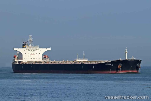
 CAPE LIUHENG
Current Status
Where is the vessel?
CAPE LIUHENG is currently in 30 nm S of Knysna, based on AIS data received about 1h ago.
Latest AIS update:
Current position: 34.53451° S, 23.16171° E (30 nm S of Knysna)
Average speed (last 7 days): Loading…
Average speed (last 30 days): Loading…
Vessel profile: CAPE LIUHENG is a Bulk Carrier with dimensions m x m.
This page combines live AIS, route history, probable destination signals, nearby traffic, and port activity for practical vessel monitoring.
The current position of vessel CAPE LIUHENG is -34.53451 lat / 23.16171 lng. Updated: 2026-05-14 19:49:57 UTCNearest reference points:
- Near Mosselbaai
- 16 nm S of Mosselbaai
- 37 nm S of Mosselbaai
Currently sailing under the flag of Marshall Islands ![]()
Details:
Live Vessel CAPE LIUHENG Analytics (details, animations, etc.)
Recent AIS points (UTC):
2026-05-14 16:08:51 UTC · -34.43167, 23.86167 · SOG 8 kn · COG -1°2026-05-14 18:20:28 UTC · -34.48781, 23.45126 · SOG 9.6 kn · COG 258°
2026-05-14 19:38:48 UTC · -34.52925, 23.19898 · SOG 9.9 kn · COG 261°
2026-05-14 19:49:57 UTC · -34.53451, 23.16171 · SOG 10 kn · COG 262°