 vesseltracker.com
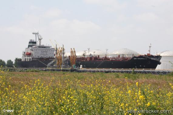
 GARUDA
Current Status
Where is the vessel?
GARUDA is currently in 248 nm SE of Tarpon Springs, based on AIS data received less than 1h ago.
Latest AIS update:
Current position: 26.25159° N, 25.04235° W (248 nm SE of Tarpon Springs)
Average speed (last 7 days): Loading…
Average speed (last 30 days): Loading…
Vessel profile: GARUDA is a Oil/Chemical Tanker with dimensions m x m.
This page combines live AIS, route history, probable destination signals, nearby traffic, and port activity for practical vessel monitoring.
The current position of vessel GARUDA is 26.25159 lat / -25.04235 lng. Updated: 2026-05-15 16:12:53 UTCCurrently sailing under the flag of Sierra Leone ![]()
Details:
Live Vessel GARUDA Analytics (details, animations, etc.)
Recent AIS points (UTC):
2026-05-15 13:21:32 UTC · 26.61816, -24.65435 · SOG 10.9 kn · COG 223°2026-05-15 13:25:09 UTC · 26.61011, -24.66265 · SOG 10.9 kn · COG 222°
2026-05-15 15:26:21 UTC · 26.34994, -24.93751 · SOG 10.6 kn · COG 220°
2026-05-15 16:12:53 UTC · 26.25159, -25.04235 · SOG 10.7 kn · COG 220°